MegaSceneryEarth Maine Complete State Photoreal Scenery for FSX/P3D

Fly the entire state - BORDER to BORDER - of Maine in photoreal detail. Maine is 35,385 square miles in size and has 144 airports. You'll see everything that you see in Maine in real life in the scenery. Read more...
- Media Format
- Immediate Download
- Compatibility
- Microsoft Flight Simulator X and Prepar3D
- File size
- 26.9 GB
- Developer
- PC Aviator

Maine is a large state with so much area to fly. The screenshots below don't come close to even scratching the surface of how much area there is to fly. Discover it all for yourself when you purchase this state.
As an added bonus, we now provide all the VFR and IFR charts in digital PDF format to enable you to get the most out of your scenery. This includes TACs and Sectionals, IFR enroute charts and 161 page book of Instrument Approach plates, Airport Diagrams, SIDs and STARs. The charts are downloadable along with your scenery files.
Some of the cities and landmarks you'll get to enjoy as you explore Maine include:
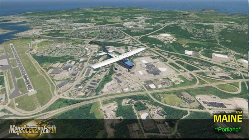
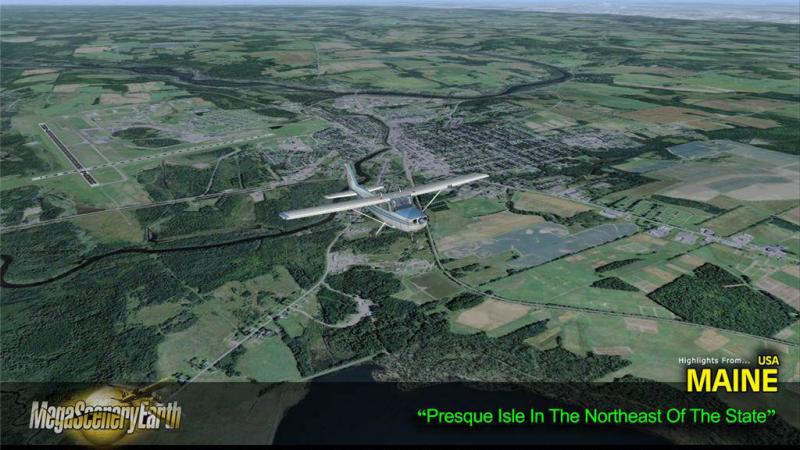
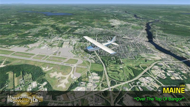
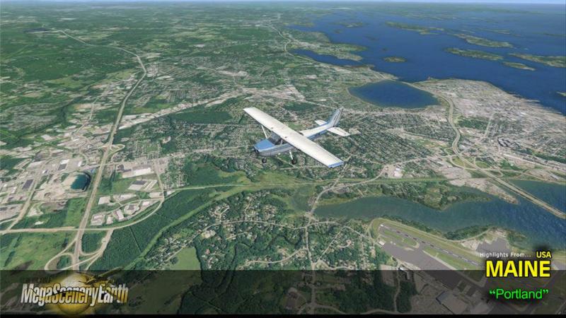
Cities: Portland, Lewiston, Bangor, Auburn, Biddeford, Sanford, August, Brunswick
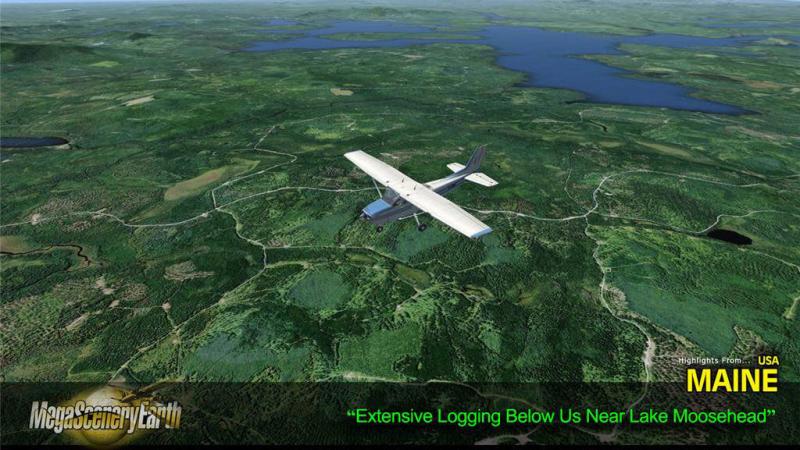
Lakes & Waterbodies: Moosehead, Sebago, Chamberlain, Churchill. Eagle, Chesuncook, West Grand Lake, Atlantic Ocean Coastline.
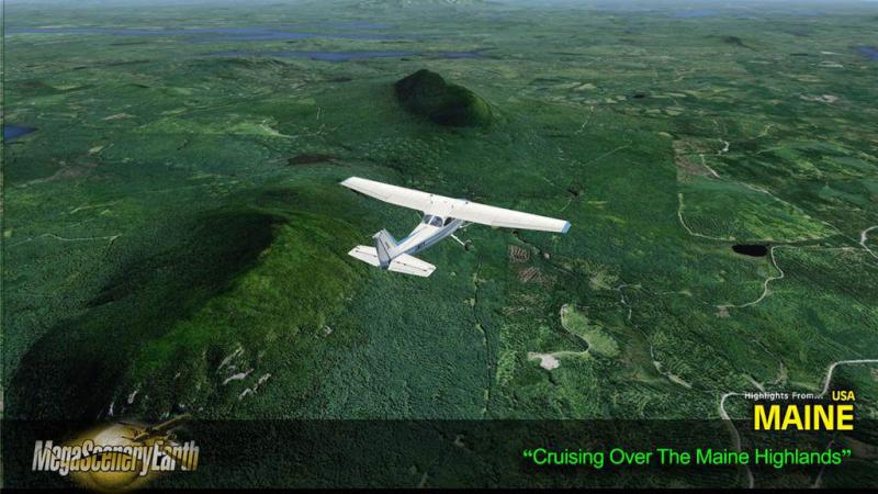
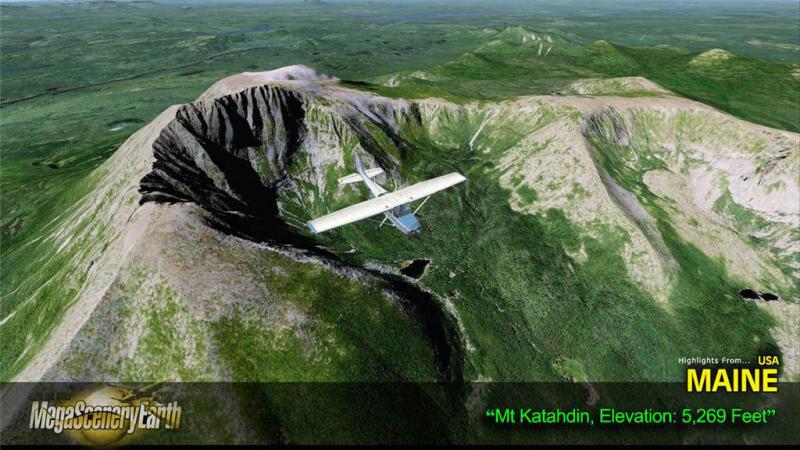
Mountains & Hills: Mt Katahdin (5,246 ft & end of the Appalachian Trail), Baxter Peak, South Peak, Chimney Peak, Sugarloaf Mountain and a total of 50 peaks above 3,500 ft.
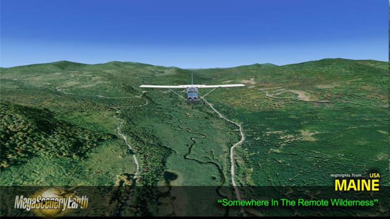
State Parks & National Forests: White Mountains National Forest, Baxter State Park, Allagash, Acadia, Debsconeag.
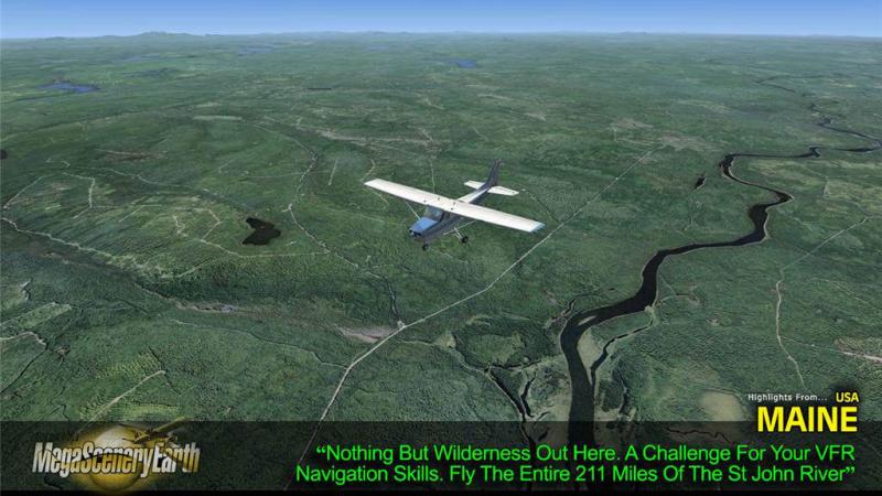
Major Rivers: Androscoggin, Kennebee, Penobscot, St. John, Saco.
Discover the rest of it all for yourself! There's a LOT to see!
THIS TITLE COMES WITH A FULL SET OF FAA AERONAUTICAL CHARTS FOR Maine IN PDF FORMAT.
Here's what you get (download links for charts will be given to you with your product download):
SECTIONAL CHARTS: Halifax & Montreal
LOW ALTITUDE IFR CHARTS: ELUS-31/ELUS-32
HIGH ALTITUDE IFR CHARTS: EHUS-11/EHUS-12
APPROACH CHARTS & AIRPORT DIAGRAMS: A 161 PAGE PDF BOOKLET

Related Products


Submit a review of this product
Do you own a copy of this add-on? Have you used it? We'd love to hear your feedback on it below. You don't even need to have purchased it from SimShack.