MegaSceneryEarth Connecticut Complete State Photoreal Scenery for FSX/P3D

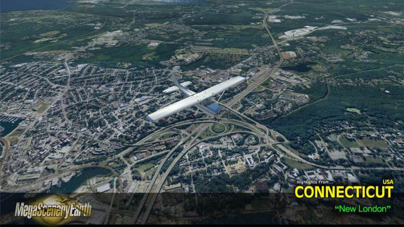
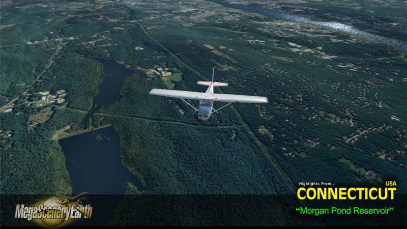
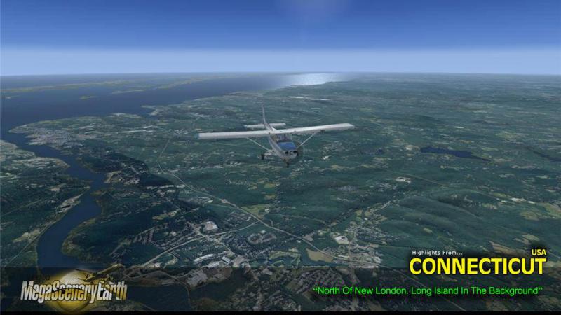
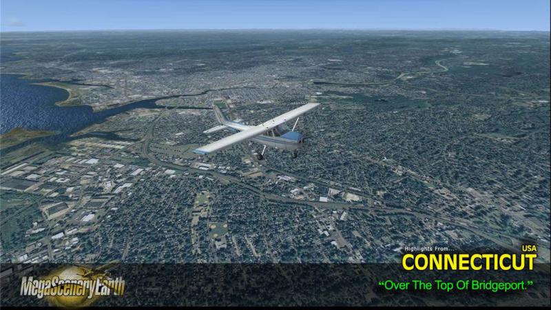
Fly the entire state - BORDER to BORDER of Connecticut in photoreal detail. Connecticut is 5,544 square miles in size and has 64 airports. You'll see everything that you see in Connecticut in real life in the scenery. Imagery is clear and crisp 50 cm source throughout for a stunningly realistic scenery. Read more...
- Media Format
- Immediate Download
- Compatibility
- Microsoft Flight Simulator X and Prepar3D
- File size
- 2.7 GB
- Developer
- PC Aviator

As an added bonus, we now provide all the VFR and IFR charts in digital PDF format to enable you to get the most out of your scenery. This includes TACs and Sectionals, IFR enroute charts and 108 page book of Instrument Approach plates, Airport Diagrams, SIDs and STARs. The charts are downloadable along with your scenery files.
Some of the cities and landmarks you'll get to enjoy as you explore Connecticut include:
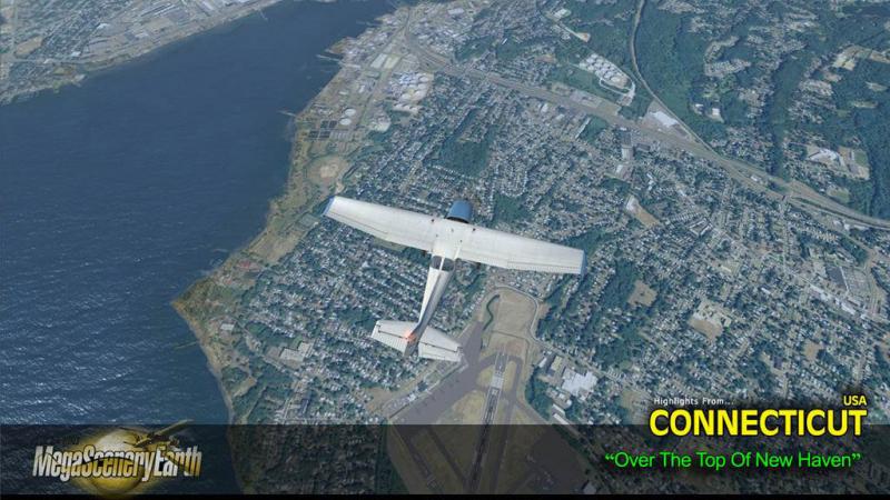
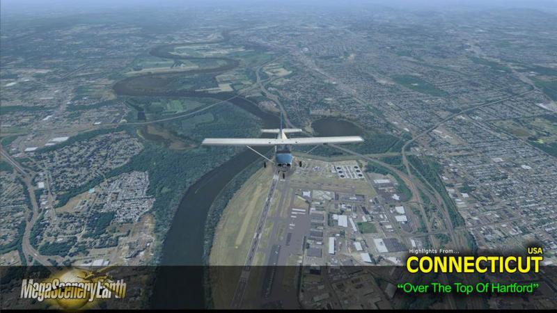
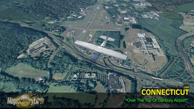
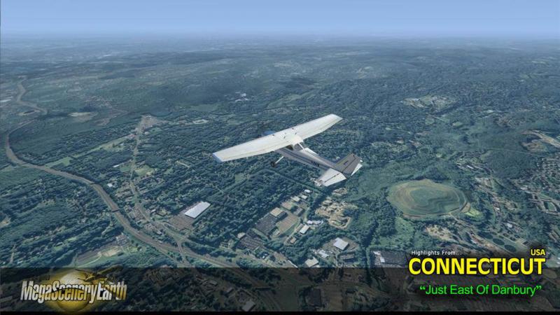
Cities: Bridgeport, Hartford, New Haven, Stamford, Waterbury, Norwalk, Danbury
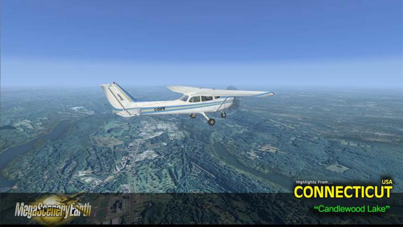
Lakes: Candlewood, Lilliononah, Bantam, Zoar, Waramaug, East Twin Lake, Highland
Mountains & Hills: Bear Mountain (2,323 ft), Round Mountain, Bald Peak, Mount Riga, Lions Head, The Pinnacle
State Parks & National Forests: Housatonic, Algonquin, Peoples, Nepaug, Nipmuck, Natchaug, Cockaponset
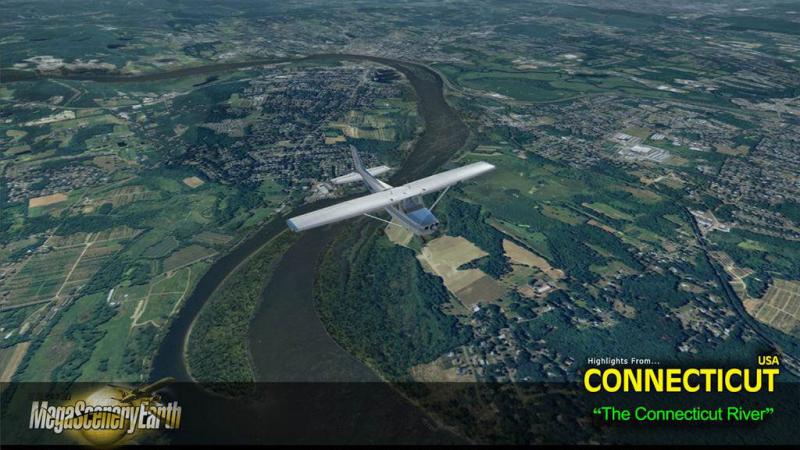
Major Rivers: Connecticut River, Housatonic, Thames
Discover the rest of it all for yourself! There's a LOT to see!
THIS TITLE COMES WITH A FULL SET OF FAA AERONAUTICAL CHARTS FOR CONNECTICUT IN PDF FORMAT.
Here's what you get (download links for charts will be given to you with your product download):
SECTIONAL CHARTS: New York
LOW ALTITUDE IFR CHARTS: ELUS-33/ELUS-34
HIGH ALTITUDE IFR CHARTS: EHUS-11/EHUS-12
AIRPORT FACILITY DIRECTORY: A 12 PAGE PDF BOOKLET
APPROACH CHARTS & AIRPORT DIAGRAMS: A 108 PAGE PDF BOOKLET

Related Products


Customer Reviews
Rated 5.0/5.0 based on 1 customer reviews
- 08/31/2023
-
5/5

Would love to have this scenery for XPLane 12 Please
Submit a review of this product
Do you own a copy of this add-on? Have you used it? We'd love to hear your feedback on it below. You don't even need to have purchased it from SimShack.