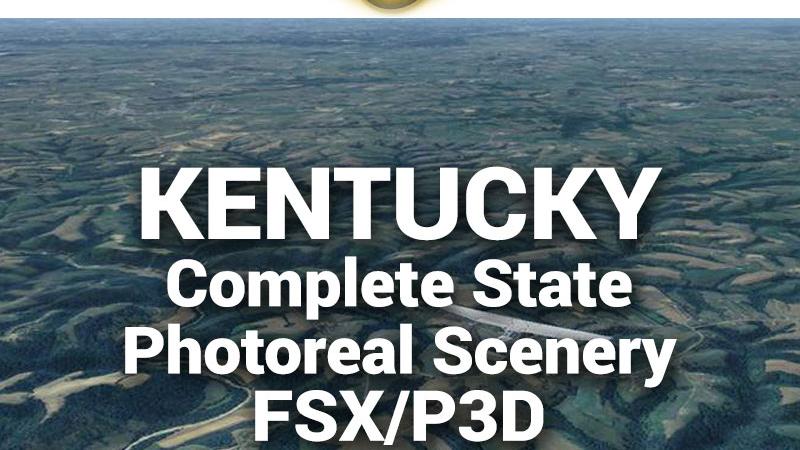
MegaSceneryEarth Kentucky Complete State Photoreal Scenery for FSX/P3D

Fly the entire state - BORDER to BORDER - of Kentucky in photoreal detail. Kentucky is 40,410 square miles in size and has 159 airports. You'll see everything that you see in Kentucky in real life in the scenery. Read more...
- Media Format
- Immediate Download
- Compatibility
- Microsoft Flight Simulator X and Prepar3D
- File size
- 17.7 GB
- Developer
- PC Aviator


Imagery is clear and crisp 50 cm source throughout for a stunningly realistic scenery.
As an added bonus, we now provide all the VFR and IFR charts in digital PDF format to enable you to get the most out of your scenery. This includes TACs and Sectionals, IFR enroute charts and 290 page book of Instrument Approach plates, Airport Diagrams, SIDs and STARs. The charts are downloadable along with your scenery files.
Some of the cities and landmarks you'll get to enjoy as you explore Kentucky include:
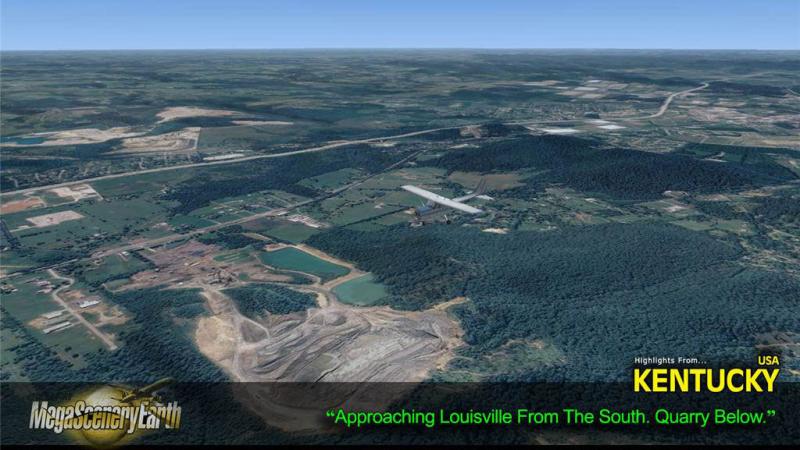
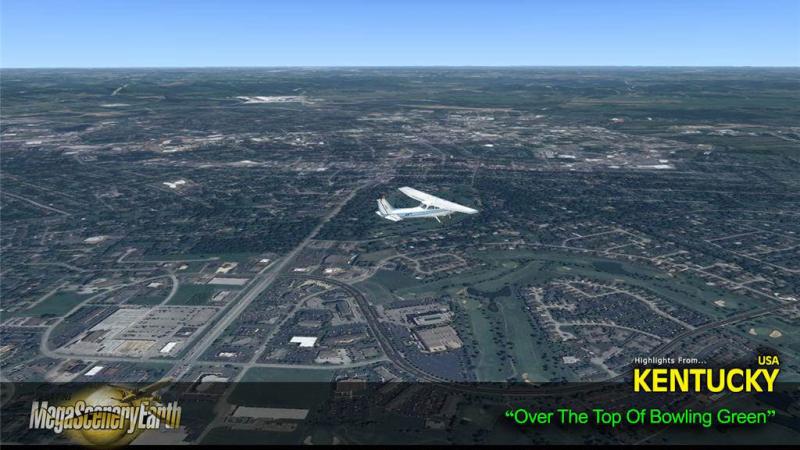
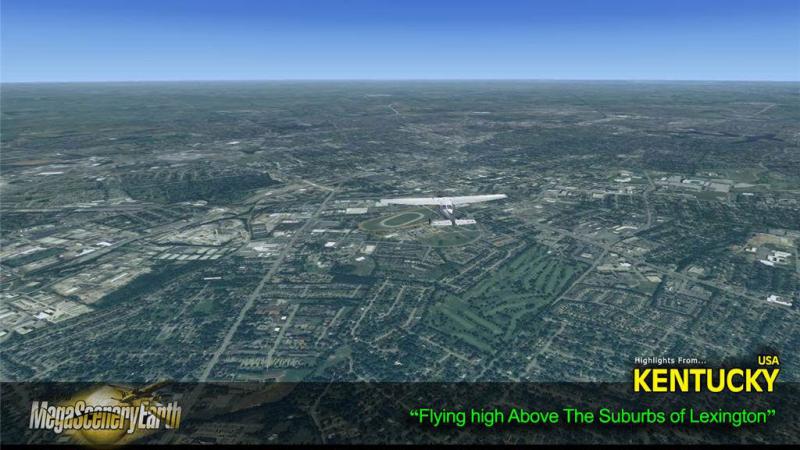
Cities: Lexington, Louisville, Bowling Green, Covington, Owensboro, Hopkinsville, Richmond
Lakes: Cumberland, Green River lake, Barren River Lake, Kentucky Lake, Lake Barclay, Cave Run Lake
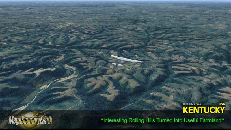
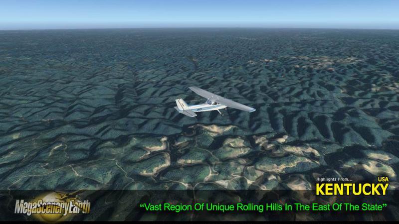
Mountains & Hills: Black Mountain (4,131 ft), Potato Hill, White Riocks, Joe Knob, Fox Knob and a total of 50 peaks above 2000 feet.
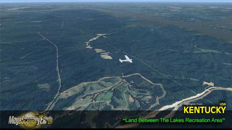
State Parks & National Forests: Daniel Boone National Forest, Land Between The Lakes, Green River, Kentucky Ridge, Knobs, Kentenia, Tygarts, to name a few.
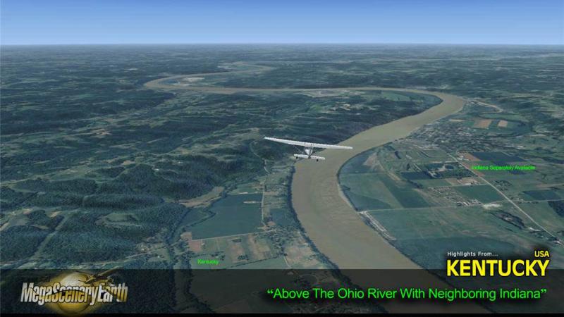
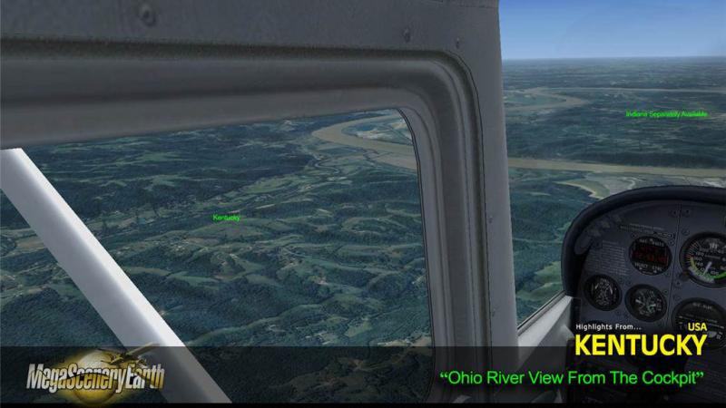
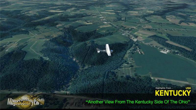
Major Rivers: Mississippi, Ohio, Big Sandy, Cumberland, Green River, Kentucky River, Licking River, Tennessee River
Other Highlights: UPS Worldwide Operations Center at Louisville, Churchill Downs (Kentucky Derby)
Discover the rest of it all for yourself! There's a LOT to see!
THIS TITLE COMES WITH A FULL SET OF FAA AERONAUTICAL CHARTS FOR KENTUCKY IN PDF FORMAT.
Here's what you get (download links for charts will be given to you with your product download):
SECTIONAL CHARTS: Cincinatti and St Louis
LOW ALTITUDE IFR CHARTS: ELUS-15/ELUS-16, ELUS-25/ELUS-26 and ELUS-27/ELUS-28
HIGH ALTITUDE IFR CHARTS: EHUS-5/EHUS-6 & EHUS-9/EHUS-10
AIRPORT FACILITY DIRECTORY: A 31 PAGE PDF BOOKLET
APPROACH CHARTS & AIRPORT DIAGRAMS: A 290 PAGE PDF BOOKLET

Related Products


Submit a review of this product
Do you own a copy of this add-on? Have you used it? We'd love to hear your feedback on it below. You don't even need to have purchased it from SimShack.