MegaSceneryEarth Iowa Complete State Photoreal Scenery for FSX/P3D

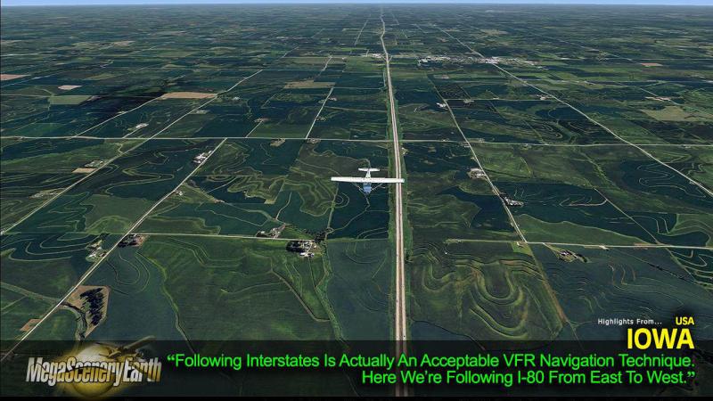
Fly the entire state - BORDER to BORDER - of Iowa in photoreal detail. Iowa is 56,271 square miles in size and has 234 airports. You'll see everything that you see in Iowa in real life in the scenery. Read more...
- Media Format
- Immediate Download
- Compatibility
- Microsoft Flight Simulator X and Prepar3D
- File size
- 18.9 GB
- Developer
- PC Aviator
Imagery is clear and crisp 50 cm source throughout for a stunningly realistic scenery.
As an added bonus, we now provide all the VFR and IFR charts in digital PDF format to enable you to get the most out of your scenery. This includes two Sectionals, three IFR enroute charts and a 344 page book of Instrument Approach plates, Airport Diagrams, SIDs and STARs, and an Airport Facility Directory. The charts are downloadable along with your scenery files.
Some of the cities and landmarks you'll get to enjoy as you explore Iowa include:
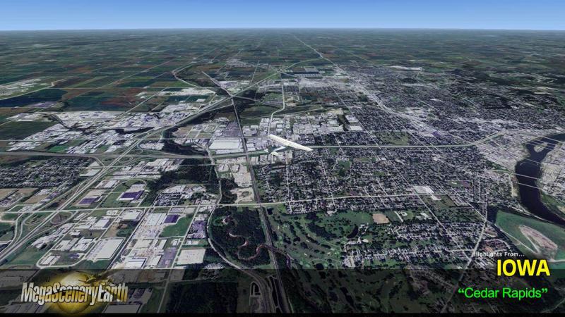
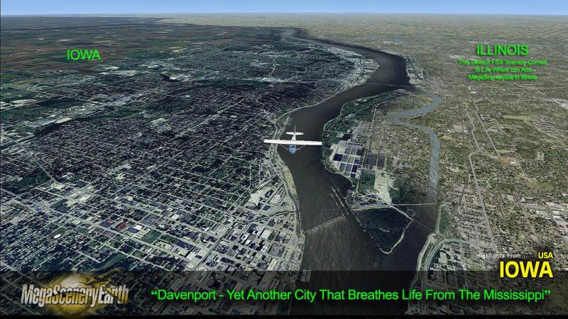
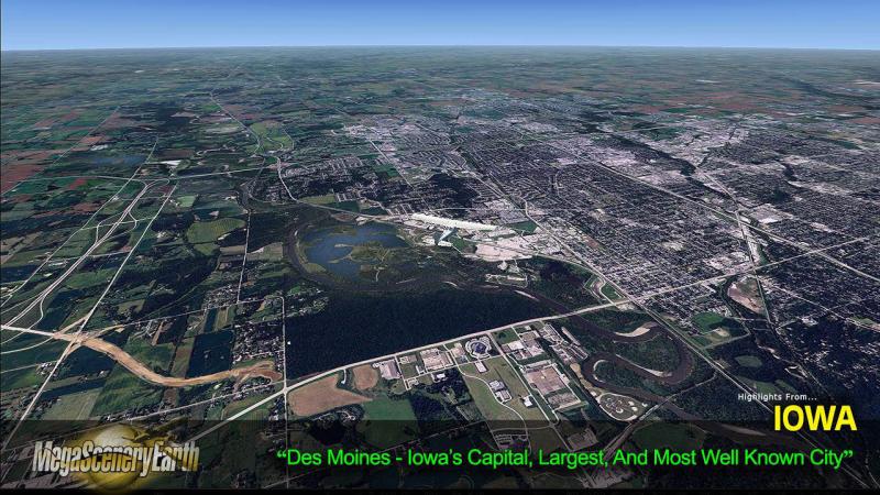
Cities: Des Moines, Cedar Rapids, Davenport, Sioux City, Waterloo, Iowa City, Council Bluffs, Dubuque, Ames
Lakes & Water Bodies: Lake Red Rock, Saylorville Lake, Rathburn Lake, Coralville Lake, Storm Lake
Mountains & Hills: Hawkeye Point (1,670 ft), Pilot Knob, Granger Hill, Mount Moses and a total of 50 peaks above 500 ft.
State Parks & National Forests: Gulfport, Mill Creek, Honey Creek, Lake Wapello, Geode
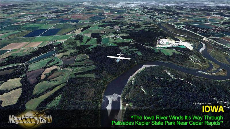
Major Rivers: Mississippi, Des Moines, Iowa, Cedar, Missouri
Discover the rest of it all for yourself! There's a LOT to see!
THIS TITLE COMES WITH A FULL SET OF FAA AERONAUTICAL CHARTS FOR Iowa IN PDF FORMAT.
Here's what you get (download links for charts will be given to you with your product download):
SECTIONAL CHARTS: Chicago, Omaha
LOW ALTITUDE IFR CHARTS: ELUS-11/ELUS-12, ELUS-27/ELUS-28
HIGH ALTITUDE IFR CHARTS: EHUS-05/EHUS-06
AIRPORT FACILITY DIRECTORY: A FULLY INDEXED 47 PAGE PDF BOOKLET
APPROACH CHARTS & AIRPORT DIAGRAMS: A FULLY INDEXED 344 PAGE PDF BOOKLET

Related Products


Submit a review of this product
Do you own a copy of this add-on? Have you used it? We'd love to hear your feedback on it below. You don't even need to have purchased it from SimShack.