MegaSceneryEarth Arkansas Complete State Photoreal Scenery for FSX/P3D

Fly the entire state - BORDER to BORDER - of Arkansas in photoreal detail. Arkansas is 53,179 square miles in size and has 254 airports. You'll see everything that you see in Arkansas in real life in the scenery. Read more...
- Media Format
- Immediate Download
- Compatibility
- Microsoft Flight Simulator X and Prepar3D
- File size
- 24.7 GB
- Developer
- PC Aviator
Imagery is clear and crisp 50 cm source throughout for a stunningly realistic scenery.
As an added bonus, we now provide all the VFR and IFR charts in digital PDF format to enable you to get the most out of your scenery. This includes Sectionals, IFR enroute charts and 258 page book of Instrument Approach plates, Airport Diagrams, SIDs and STARs, and an Airport Facility Directory. The charts are downloadable along with your scenery files.
Some of the cities and landmarks you'll get to enjoy as you explore Arkansas include:
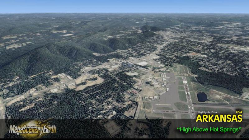
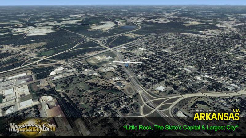
Cities: Little Rock, Fort Smith, Fayetteville, Jonesboro, Pine Bluff, Springdale, Hot Springs
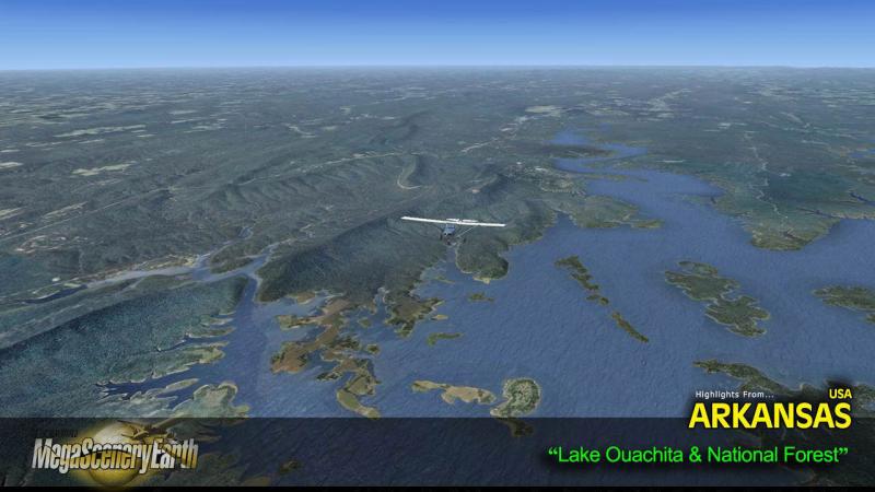
Lakes & Water Bodies: Lake Ouachita, Bull Shoals Lake, Greers Ferry Lake, Norfolk Lake, Beaver Lake. Lake Dardanelle, Millwood Lake
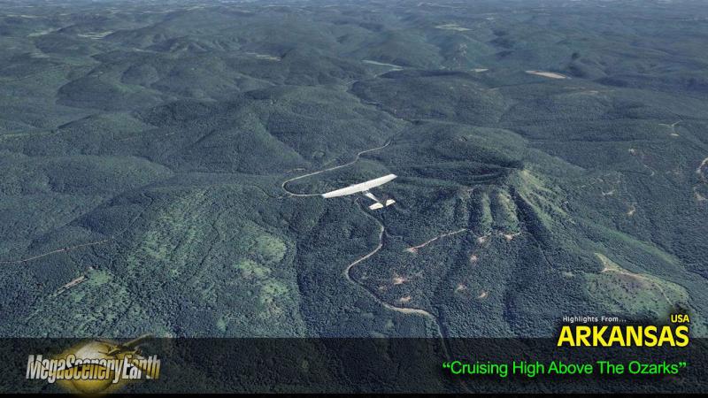
Mountains & Hills: Magazine Mountain (2,749), Signal Hill. Black Fork Mountain, Blue Mountain, Cameron Bluff and a total of 50 peaks above 2,200 ft. Includes the Ozark Mountains.
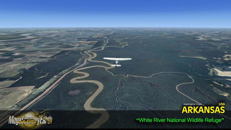
State Parks & National Forests: Ouachita National Forest, Ozark-St. Francis National Forest.
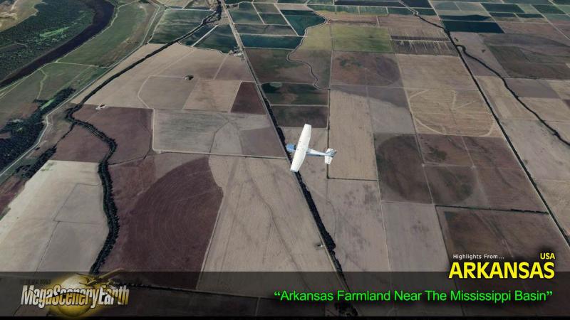
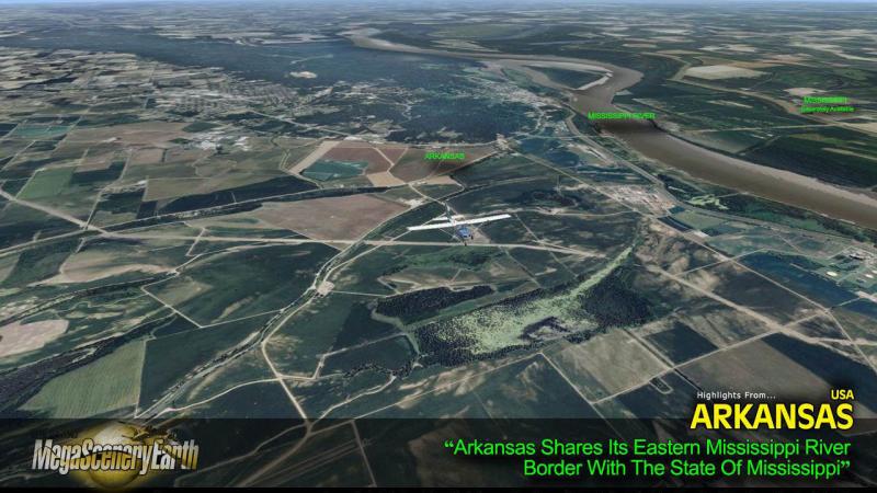
Major Rivers: Mississippi River (entire eastern border), Arkansas River
Discover the rest of it all for yourself! There's a LOT to see!
This is a download edition with the option to order a DVD disk set (6 discs).
THIS TITLE COMES WITH A FULL SET OF FAA AERONAUTICAL CHARTS FOR Arkansas IN PDF FORMAT.
Here's what you get (download links for charts will be given to you with your product download):
SECTIONAL CHARTS: Memphis, Kansas City, St Louis
LOW ALTITUDE IFR CHARTS: ELUS-15/ELUS-16, ELUS-17/ELUS-18
HIGH ALTITUDE IFR CHARTS: EHUS-05/EHUS-06
AIRPORT FACILITY DIRECTORY: A FULLY INDEXED 47 PAGE PDF BOOKLET
APPROACH CHARTS & AIRPORT DIAGRAMS: A FULLY INDEXED 258 PAGE PDF BOOKLET

Related Products


Customer Reviews
Rated 5.0/5.0 based on 1 customer reviews
-
Dale Davis 04/25/2018
-
5/5 Verified Purchase

Purchased the Arkansas scenery package. After installing it, it didn't look too good. After reading the setup instructions it looks really good. The only thing I've noticed is for that area all the trees and buildings look flat and are not in 3d anymore.
Submit a review of this product
Do you own a copy of this add-on? Have you used it? We'd love to hear your feedback on it below. You don't even need to have purchased it from SimShack.