MegaSceneryEarth Illinois Complete State Photoreal Scenery for FSX/P3D

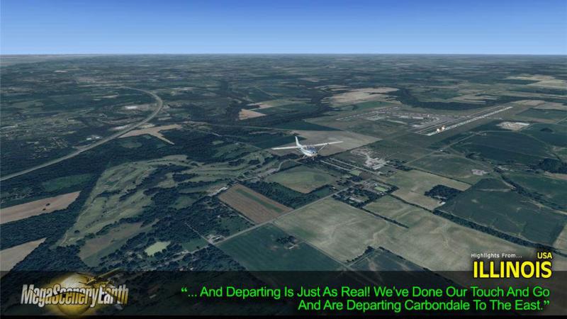
Fly the entire state - BORDER to BORDER - of Illinois in photoreal detail. Illinois is 57,914 square miles in size and has 863 airports. You'll see everything that you see in Illinois in real life in the scenery. Read more...
- Media Format
- Immediate Download
- Compatibility
- Microsoft Flight Simulator X and Prepar3D
- File size
- 15.7 GB
- Developer
- PC Aviator

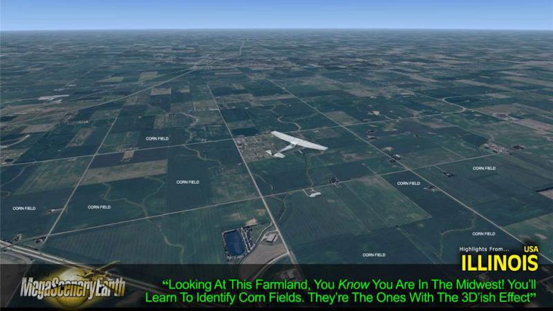
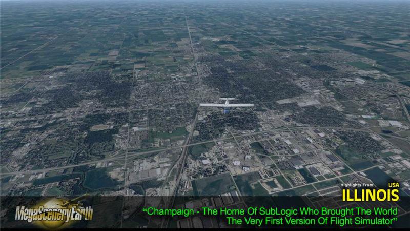
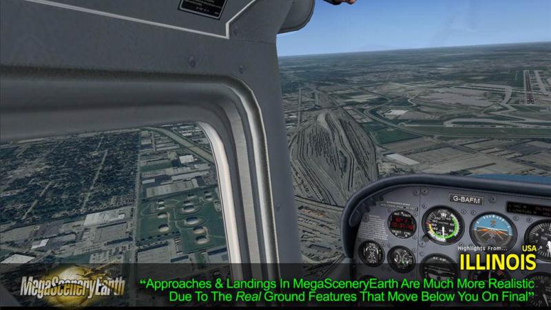
Imagery is clear and crisp 50 cm source throughout for a stunningly realistic scenery.
As an added bonus, we now provide all the VFR and IFR charts in digital PDF format to enable you to get the most out of your scenery. This includes TACs and Sectionals, IFR enroute charts and 549 page book of Instrument Approach plates, Airport Diagrams, SIDs and STARs and a Chicago Metropolitan Helicopter Route map. The charts are downloadable along with your scenery files.
Some of the cities and landmarks you'll get to enjoy as you explore Illinois include:
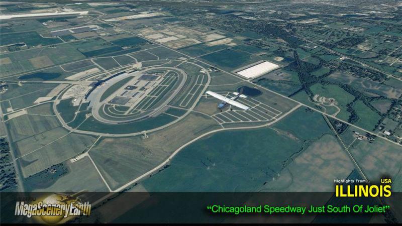
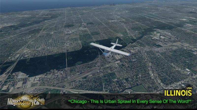
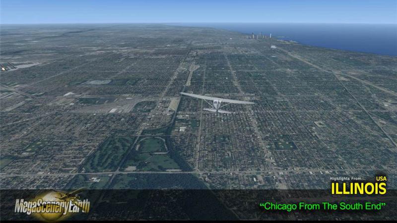
Cities: Chicago (largest), Aurora, Rockford, Joliet, Naperville, Springfield (capital), Peoria, Elgin, Waukegan, Cicero
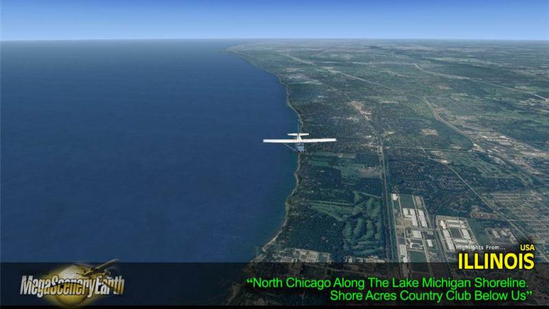
Lakes: Michigan, Carlyle Reservoir, Rend, Shelbyville, Peoria
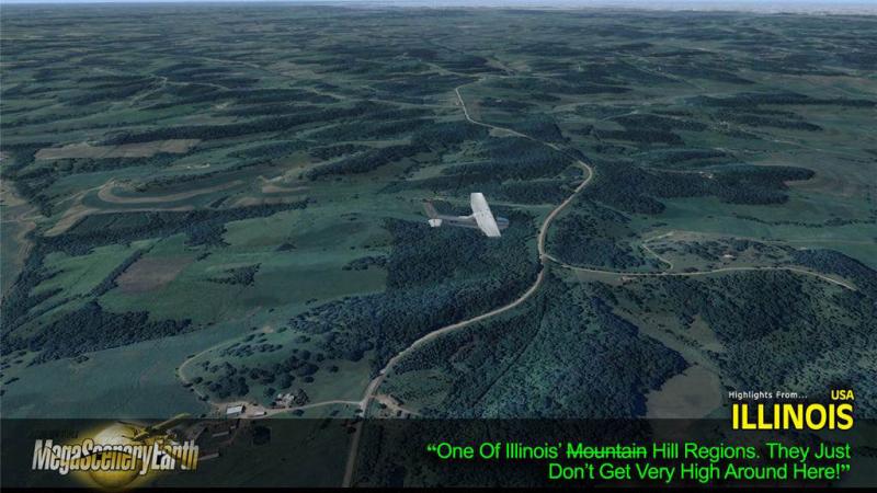
Mountains & Hills: Charles Mound (1,227 ft), Benton Mound, Scales Mound, Squirrel Grove, Hudson Mound, Williams Hill, Horseshoe Mound and a total of 50 peaks above 750 feet.
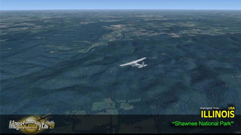
State Parks & National Forests: Shawnee National Forest, Hennepin, Rend Lake, Carlyle Lake, South Shore - 140 in total
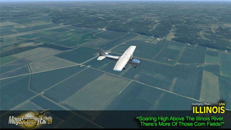
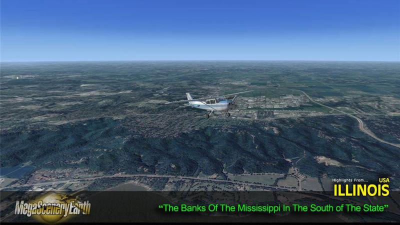
Major Rivers: Mississippi, Illinois, Wabash, Ohio, Kaskaskia, Big Muddy
Discover the rest of it all for yourself! There's a LOT to see!
THIS TITLE COMES WITH A FULL SET OF FAA AERONAUTICAL CHARTS FOR ILLINOIS IN PDF FORMAT.
Here's what you get (download links for charts will be given to you with your product download):
SECTIONAL CHARTS: Chicago and St Louis
TERMINAL AREA CHARTS: Chicago
HELICOPTER ROUTE MAP: Chicago
LOW ALTITUDE IFR CHARTS: ELUS-15/ELUS-16 and ELUS-27/ELUSL-28
HIGH ALTITUDE IFR CHARTS: EHUS-5/EHUS-6
AIRPORT FACILITY DIRECTORY: A FULLY INDEXED 59 PAGE PDF BOOKLET
APPROACH CHARTS & AIRPORT DIAGRAMS: A FULLY INDEXED 549 PAGE PDF BOOKLET

Related Products


Submit a review of this product
Do you own a copy of this add-on? Have you used it? We'd love to hear your feedback on it below. You don't even need to have purchased it from SimShack.
Customers Also Purchased
