MegaSceneryEarth Louisiana Complete State Photoreal Scenery for FSX/P3D

Fly the entire state - BORDER to BORDER - of Louisiana in photoreal detail. Louisiana is 51,840 square miles in size and has 272 airports. You'll see everything that you see in Louisiana in real life in the scenery. Read more...
- Media Format
- Immediate Download
- Compatibility
- Microsoft Flight Simulator X and Prepar3D
- File size
- 29 GB
- Developer
- PC Aviator

Imagery is 50 cm source throughout.
As an added bonus, we now provide all the VFR and IFR charts in digital PDF format to enable you to get the most out of your scenery. This includes Sectionals, IFR enroute charts and 262 page book of Instrument Approach plates, Airport Diagrams, SIDs and STARs, and an Airport Facility Directory. The charts are downloadable along with your scenery files.
Some of the cities and landmarks you'll get to enjoy as you explore Louisiana include:
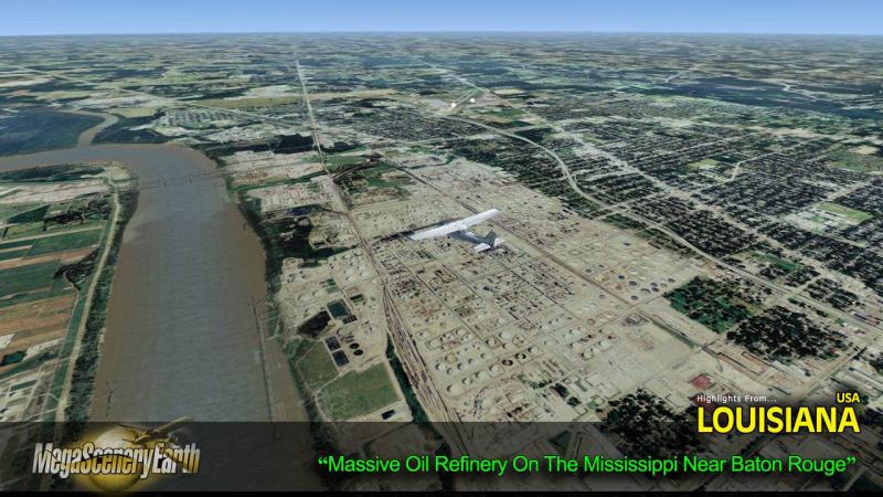
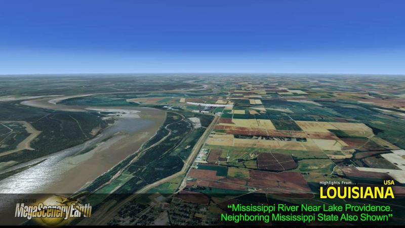
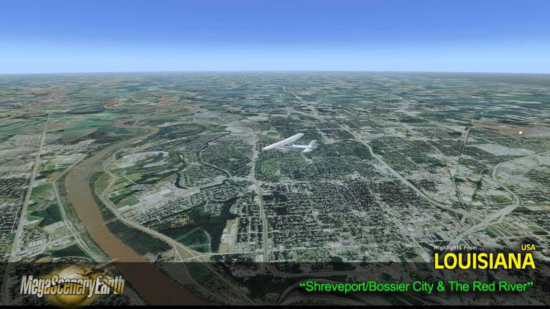
Cities: New Orleans, Baton Rouge, Shreveport, Lafayette, Lake Charles, Monroe
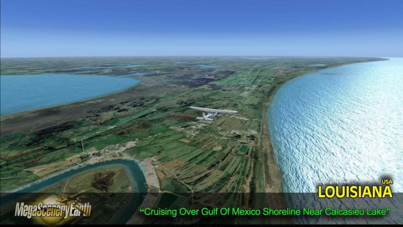
Lakes & Water Bodies: Calcasieu Lake, Catahoula Lake, Grand Lake, Lake Maurepas, Lake Pontchartrain, Toledo Bend Reservoir, White Lake, Gulf of Mexico shoreline
Mountains & Hills: Highest Point: Driskill Mountain (535 ft)- Average elevation of state is 100 ft AMSL.
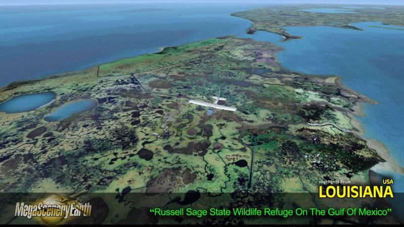
State Parks & National Forests: Kisatchie National Forest, Alexander State Forest, Numerous Wildlife Refuges.
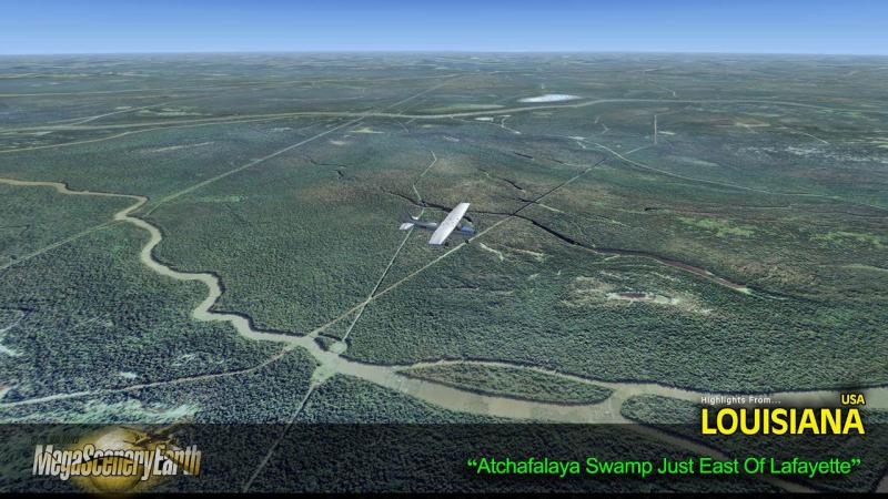
Major Rivers: Atchafalaya River, Mississippi River, Ouachita River, Red River, Sabine River
Discover the rest of it all for yourself! There's a LOT to see!
THIS TITLE COMES WITH A FULL SET OF FAA AERONAUTICAL CHARTS FOR Louisiana IN PDF FORMAT.
Here's what you get (download links for charts will be given to you with your product download):
SECTIONAL CHARTS: Memphis & Houston
LOW ALTITUDE IFR CHARTS: ELUS-17/ELUS-18, ELUS-19/ELUS-20, ELUS-21/ELUS-22
HIGH ALTITUDE IFR CHARTS: EHUS-05/EHUS-06, EHUS-07/EHUS-08
AIRPORT FACILITY DIRECTORY: A FULLY INDEXED 40 PAGE PDF BOOKLET
APPROACH CHARTS & AIRPORT DIAGRAMS: A FULLY INDEXED 262 PAGE PDF BOOKLET

Related Products


Submit a review of this product
Do you own a copy of this add-on? Have you used it? We'd love to hear your feedback on it below. You don't even need to have purchased it from SimShack.