MegaSceneryEarth Florida Complete State Photoreal Scenery for FSX/P3D

Fly the entire state - BORDER to BORDER - of The Sunshine State - Florida in photoreal detail. Florida is 65,755 square miles in size and has 593 airports. You'll see everything that you see in Florida in real life in the scenery. Read more...
- Media Format
- Immediate Download
- Compatibility
- Microsoft Flight Simulator X and Prepar3D
- File size
- 25.5 GB
- Developer
- PC Aviator
Imagery is clear and crisp 50 cm source throughout for a stunningly realistic scenery.
As an added bonus, we now provide all the VFR and IFR charts in digital PDF format to enable you to get the most out of your scenery. This includes Sectionals, IFR enroute charts and 785 page book of Instrument Approach plates, Airport Diagrams, SIDs and STARs, and an Airport Facility Directory. The charts are downloadable along with your scenery files.
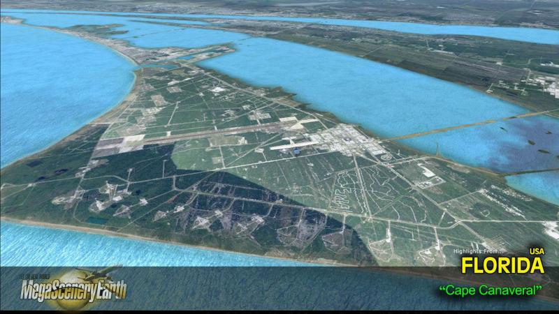
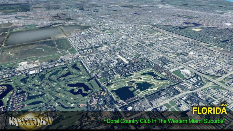
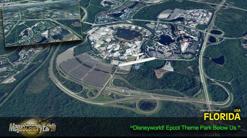
Some of the cities and landmarks you'll get to enjoy as you explore Florida include:
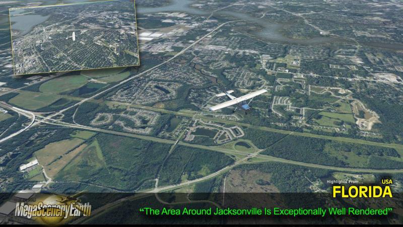
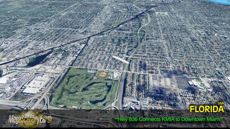
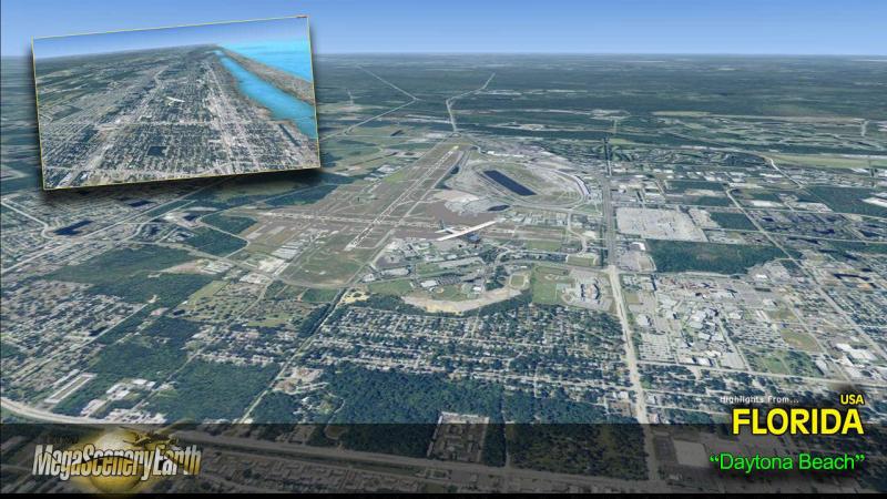
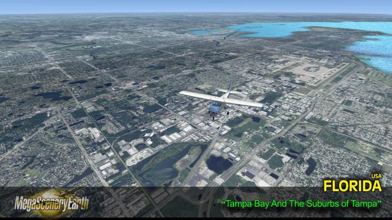
Cities: Miami, Jacksonville, Tampa, Saint Petersburg, Hialeah, Orlando, Fort Lauderdale, Tallahassee
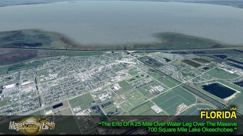
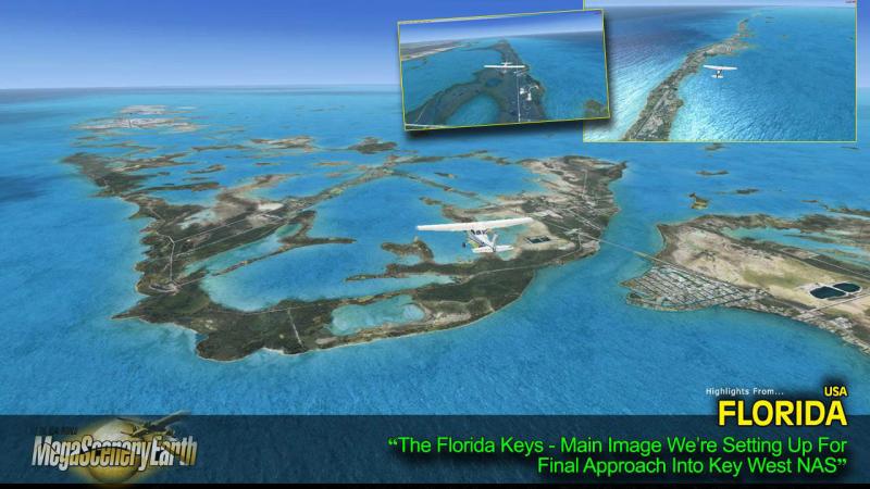
Lakes & Water Bodies: Lake Okeechobee, Lake George, Lake Apopka, Lake Kissimmee, Tampa Bay, Charlotte Harbor, Biscayne Bay, 1800 miles of coastal Gulf of Mexico and Atlantic Ocean shoreline including the Florida Keys.
Mountains & Hills: N/A. Florida is extremely flat with an average elevation of 100 ft!
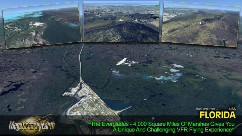
State Parks & National Forests: Osceola, Apalachicola, Ocala, Big Cypress, The Everglades and dozens of state forests.
Major Rivers: St Johns, Withlacoochee, St Mary's, Suwanee, Apalachicola. 50,000 miles of rivers in total.
Discover the rest of it all for yourself! There's so much to see in Florida!
THIS TITLE COMES WITH A FULL SET OF FAA AERONAUTICAL CHARTS FOR FLORIDA IN PDF FORMAT.
Here's what you get (download links for charts will be given to you with your product download):
SECTIONAL CHARTS: Miami, Jacksonville, & New Orleans
TERMINAL AREA CHARTS: Miami, Orlando, Tampa
VFR Flyways Planning Charts: Miami & Orlando
LOW ALTITUDE IFR CHARTS: ELUS-21/ELUS-22 and ELUS-23/ELUS-24
HIGH ALTITUDE IFR CHARTS: EHUS-07/EHUS-08
AIRPORT FACILITY DIRECTORY: A FULLY INDEXED 85 PAGE PDF BOOKLET
APPROACH CHARTS & AIRPORT DIAGRAMS: A FULLY INDEXED 785 PAGE PDF BOOKLET

Related Products


Submit a review of this product
Do you own a copy of this add-on? Have you used it? We'd love to hear your feedback on it below. You don't even need to have purchased it from SimShack.
Customers Also Purchased


